Lost Islands and Mythical Lands on Ancient Sea Charts

The Legend of Hy-Brasil
Saint Brendan's Island
The Mystery of Antillia
The Island of California Myth
A merchant ship in the 16th century might sail for weeks toward a coastline that simply doesn't exist. On their charts, a jagged island sits right where the open ocean should be, a phantom landmass that looks perfectly real under candlelight. This post explores the history of phantom islands, the cartographic errors that shaped our world, and why these "fake" locations are some of the most sought-after pieces in vintage map collecting.
Collectors often chase accuracy, but in the world of antique cartography, errors are where the real money is. These phantom islands weren't just mistakes; they were often the result of misinterpreted sightings, bad weather, or even intentional propaganda. Understanding why these lands appeared on maps helps you distinguish between a genuine historical error and a modern reproduction.
What are Phantom Islands in Cartography?
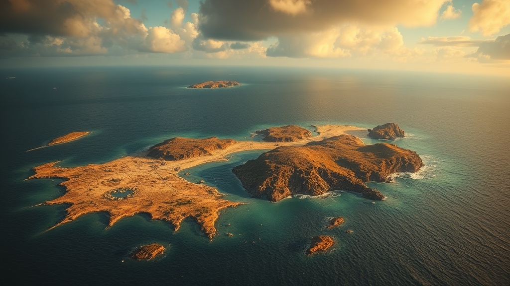
Phantom islands are landmasses that appeared on nautical charts for years or even centuries despite never actually existing. They often stemmed from sailors misidentifying low-lying clouds, icebergs, or even sea animals as land. Sometimes, they were the result of "phantom islands" like Hy-Brasil, a mythical island off the coast of Ireland that was depicted on maps well into the 19th century.
For a collector, these islands represent a fascinating intersection of science and myth. You aren't just buying a map of a place; you're buying a record of human error. It's a way to see exactly where the limits of human knowledge ended and where superstition began. If you're looking at a piece from the Age of Discovery, keep an eye out for these anomalies—they often drive the value of the print up significantly.
The most famous example is Antillia, the "Island of the Seven Cities." It appeared on several 15th-century charts and sparked actual voyages of discovery. It wasn't just a drawing; it was a destination that people believed in. That's the kind of history that makes a single piece of parchment worth more than a standard, accurate map of the same era.
The Most Famous "Fake" Islands
There's a specific hierarchy of mythical lands that collectors look for. Some are more common, while others are rare gems. Here is a breakdown of the most notable phantom islands found on vintage charts:
- Hy-Brasil: A legendary island west of Ireland. It appeared on maps for centuries and was often depicted with a distinct, circular shape.
- Saint Brendan's Island: A mythical island in the Atlantic that was a staple of many 16th-century nautical charts.
- The Island of California: Perhaps the most famous "error" in history, where many maps depicted California as a massive island separated from the mainland by a sea.
- Thule: Often used to describe the northernmost reaches of the known world, though its exact location was a subject of endless debate among early explorers.
Why Do Antique Maps Feature Mythical Lands?
Cartographers included these lands to fill empty spaces (the horror vacui or "fear of empty space" principle) or to satisfy the demands of patrons. In many cases, if a sailor reported seeing something strange on the horizon, the mapmaker would include it to ensure the map felt "complete" and useful. It wasn't uncommon to see sea monsters or mythical creatures filling these gaps too—a way to signal that these waters were dangerous or unexplored.
It's also worth noting that some "islands" were actually errors in longitude or latitude. Before the invention of the marine chronometer, calculating longitude was a nightmare. A slight error in measurement could place a real island hundreds of miles away from its actual position, creating a "phantom" version of the land. This is why studying phantom islands is so important for understanding the evolution of navigation technology.
If you're interested in the technical side of how these errors occurred, you might find hidden symbols in Renaissance cartography a useful deep dive. The symbols used weren't just decorative; they often served as warnings or indicators of what the mapmaker *thought* they saw.
One thing to remember: an error doesn't make a map "bad." In the world of collecting, a map with a famous error is often more valuable than a perfectly accurate one. It tells a story of human limitation. It shows us exactly where we were once lost.
How Much Do Error-Prone Antique Maps Cost?
The price of a map featuring a phantom island or a major geographic error depends heavily on the era, the maker, and the degree of the error. A map that incorrectly depicts California as an island, for example, is often more expensive than a standard map of the same period because that error is historically significant. You aren't just paying for the paper; you're paying for the "mistake" that changed history.
Generally, collectors can expect the following price ranges for high-quality vintage maps:
| Map Type | Typical Subject Matter | Estimated Value (USD) |
|---|---|---|
| Standard Nautical Chart | Accurate coastlines, no mythical lands | $200 - $800 |
| Historical Error Map | California as an Island, Hy-Brasil | $1,500 - $5,000+ |
| Rare Mythical Chart | Sea monsters, uncharted mythical realms | $5,000 - $15,000+ |
Keep in mind that these are rough estimates. A hand-colored, 17th-century Dutch map from a maker like Blaeu or Hondius will always command a premium over a later, mass-produced engraving. If the map features a very specific, well-documented phantom island, the price can skyrocket. Collectors often compete for these pieces because they are conversation starters. They aren't just geographic tools; they are pieces of folklore.
If you're just starting out, don't feel pressured to jump straight to the high-end pieces. You'll want to learn how to identify authentic paper and ink first. I've written a guide on finding authentic vintage maps that will help you avoid the many reproductions on the market today.
One tip: always check the condition of the edges. A map with a famous error is useless if it's been poorly handled. If you find a piece that looks like it has been folded and unfolded too many times, you might need to look into flattening and restoring antique maps to preserve its value.
The obsession with these "lost" lands is part of what makes the hobby so addictive. There's a certain thrill in finding a map that contains a piece of a world that never actually existed. It reminds us that even the most "scientific" tools of the past were often shaped by imagination and myth.
When you're browsing auctions or antique shops, look for the gaps. Look for the places where the cartographer seemed unsure. Look for the "empty" spaces that are actually filled with beautifully drawn sea monsters or tiny, unnamed islands. That's where the real history—and the real value—is hiding.
The beauty of a phantom island is that it's a permanent resident of the history books. It doesn't matter if the island was never found; the fact that people *looked* for it is what matters. That's the legacy of the map. It's a record of a dream, a mistake, or a mystery. And for a collector, that's worth every penny.