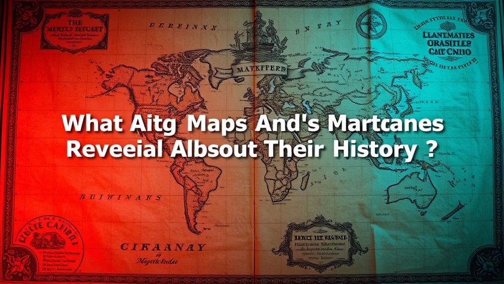
What Antique Map Margins and Cartouches Reveal About Their History

What Can Antique Map Margins and Cartouches Reveal About Their History?
Seasoned collectors understand that valuable information often sits at the edges. Those decorative borders and ornate title panels on antique maps aren't merely decorative flourishes—they're historical documents in their own right. Cartouches, the decorative frames enclosing the map's title, and the marginalia surrounding the geographic content can reveal when a map was produced, who commissioned it, and what political or cultural forces shaped its creation.
For anyone building a serious collection, learning to read these peripheral elements opens up new avenues for authentication and appreciation. You'll spot inconsistencies that flag potential reproductions. You'll understand why certain decorative choices matter. And you'll gain insight into the craftsmanship that distinguished the great mapmaking houses of Amsterdam, Paris, and London.
What Should You Look for in Antique Map Margins?
The blank space around a map's geographic content rarely stays empty. Seventeenth and eighteenth-century mapmakers filled these areas with information that modern collectors sometimes overlook. Scale bars appear frequently—often decorated with alternating segments that help users measure distances. Compass roses situate the viewer orientationally, but their design evolution tells its own story. A elaborate fleur-de-lis north marker suggests French origins; a simple arrow might indicate a more utilitarian British production.
Look for publication details. The margin often contains the engraver's name, the publisher's address, and sometimes the specific print run. These details matter enormously for dating and valuation. A map printed by Hondius in 1606 carries different weight than the same copperplate reused by Janssonius decades later—marginal text helps distinguish these states.
Celestial diagrams, wind heads, and allegorical figures commonly occupy corners. These elements reflect contemporary artistic fashion as much as cartographic necessity. When you spot a map whose margins contain detailed astronomical charts alongside the geographic content, you're likely looking at Dutch Golden Age work—where science and commerce intersected spectacularly.
Pay attention to changes between editions. Publishers frequently updated marginal information while keeping the core geographic content unchanged. A margin that mentions recent discoveries or current political boundaries helps date the print run precisely. Some collectors specialize in these transitional states—maps that capture moments of geographic knowledge in flux.
Why Do Cartouches Matter for Map Authentication?
The decorative title panel—the cartouche—represents one of the most distinctive elements of antique map design. These frames range from simple rectangular borders to elaborate architectural fantasies, mythological scenes, or naturalistic arrangements of flora and fauna. For collectors, cartouches serve as both aesthetic focal points and authentication tools.
Style follows period. Baroque cartouches of the seventeenth century favor dramatic scrollwork, military trophies, and dynamic asymmetry. Eighteenth-century examples tend toward lighter Rococo flourishes—shell motifs, cherubs, and pastoral themes. By the late eighteenth century, Neoclassical restraint takes over with clean lines and architectural elements drawn from antiquity.
Forgers often stumble on cartouche details. The quality of engraving, the specific ornamental vocabulary, and the integration of text with decoration all require period-appropriate craftsmanship. A cartouche that looks slightly "off"—too crude or too refined for its purported date—warrants closer scrutiny. Compare suspected examples against documented originals in institutional collections.
Subject matter carries significance too. A cartouche depicting enslaved figures or colonial imagery reflects the ideological assumptions of its era—assumptions that many collectors now grapple with as they assess historical context alongside aesthetic value. The Library of Congress Rare Book and Special Collections Division maintains extensive resources for understanding how cartouche imagery evolved alongside political and social change.
How Can Marginal Details Help Date Your Maps?
Specific marginal elements function as chronological markers. Address lines—publishers' locations printed in the margin—changed frequently as businesses moved or partners shifted. A map bearing the address "at the Sign of the Atlas in Cornhill" places the publication in a specific London building that housed several important map sellers during particular decades.
Privilege statements indicate official authorization for printing. The phrase "cum privilegio" or its vernacular equivalents signals that the mapmaker secured exclusive rights from governing authorities. These privileges carried expiration dates, and their presence—or absence—helps establish publication windows.
Dedication lines also offer dating clues. Maps often include dedications to patrons whose careers and social positions can be traced through historical records. A dedication to a specific Lord Mayor of London, for instance, narrows the publication date to that individual's term of office. The Osher Map Library and Smith Center for Cartographic Education provides excellent research tools for correlating dedications with historical timelines.
Watermarks in the margin paper—visible when held to light—connect maps to specific paper mills and production batches. While watermark study requires specialized knowledge, matching a map's paper to documented examples can confirm or challenge its proposed date and origin.
Collecting Marginalia as a Specialization
Some collectors focus specifically on decorative marginal elements. Portrait collections—maps featuring engraved likenesses of explorers, monarchs, or cartographers in their borders—attract dedicated following. Others hunt for maps whose margins display indigenous peoples, exotic animals, or regional costumes. These specialized collections often prove more affordable than pursuing broad geographic coverage while offering rich research opportunities.
Condition matters enormously for marginal elements. Trimmed margins—common when maps were bound into atlases—often sacrifice decorative details. Collectors should verify that cartouches remain intact and that marginal inscriptions haven't been cropped. A map with full, untrimmed margins commands significant premium over copies whose borders have been reduced.
Where Should Collectors Research Marginal and Cartouche Details?
Building expertise requires examining documented examples. Major institutional collections—accessible online through high-resolution digitization—provide the reference material necessary for comparison. Study how specific engravers handled decorative elements. Notice regional variations in ornamental style. Track how cartouche designs migrated between publishers and across decades.
Specialized literature offers deeper dives. Reference works on individual mapmakers, regional cartographic histories, and decorative print culture all illuminate how marginal elements functioned within the broader economy of map production. The International Map Collectors' Society publishes research and maintains networks connecting collectors with scholarly resources.
Dealers and auction houses increasingly emphasize marginal condition and decorative quality in their descriptions. Learn to read these listings critically. Request condition reports that specifically address cartouche integrity and margin completeness. Photographs should clearly show decorative elements—not just the geographic content.
For collectors in Calgary and across Canada, regional map societies offer opportunities to examine examples firsthand. Nothing substitutes for direct comparison of multiple copies, noting how individual engravers handled similar decorative challenges. These observations build the visual literacy that distinguishes serious collectors from casual accumulators.
The margins and cartouches on antique maps reward patient attention. They connect individual prints to broader historical contexts—to the workshops where they were engraved, the patrons who commissioned them, and the markets where they were sold. Learning to read these peripheral elements transforms how you look at maps. What seemed like empty space becomes instead a rich field of historical evidence, artistic achievement, and collecting opportunity.